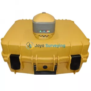
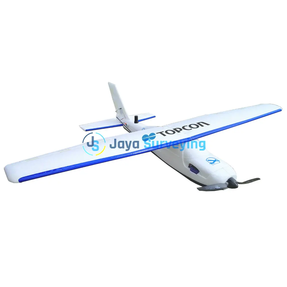
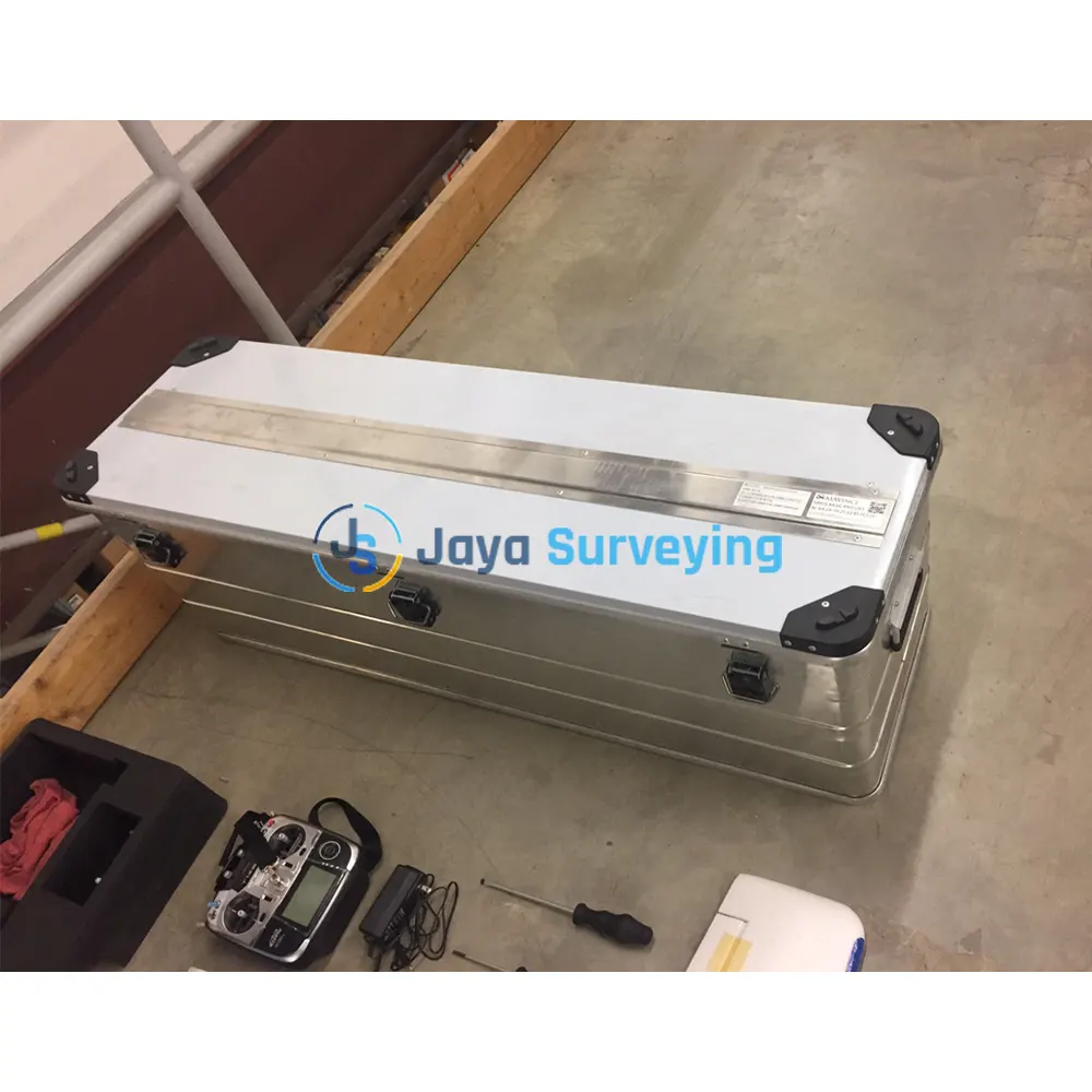
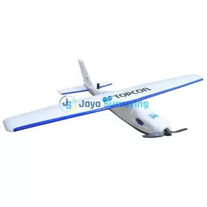
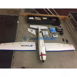
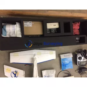
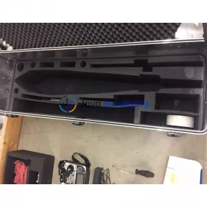
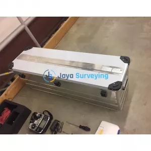
Up for sale Topcon Sirius Pro - UAV - TB-A565360 Powered by MAVinci. Excellent condition-Used for demos only.
The Sirius Pro delivers highly accurate aerial mapping results using GNSS-RTK.
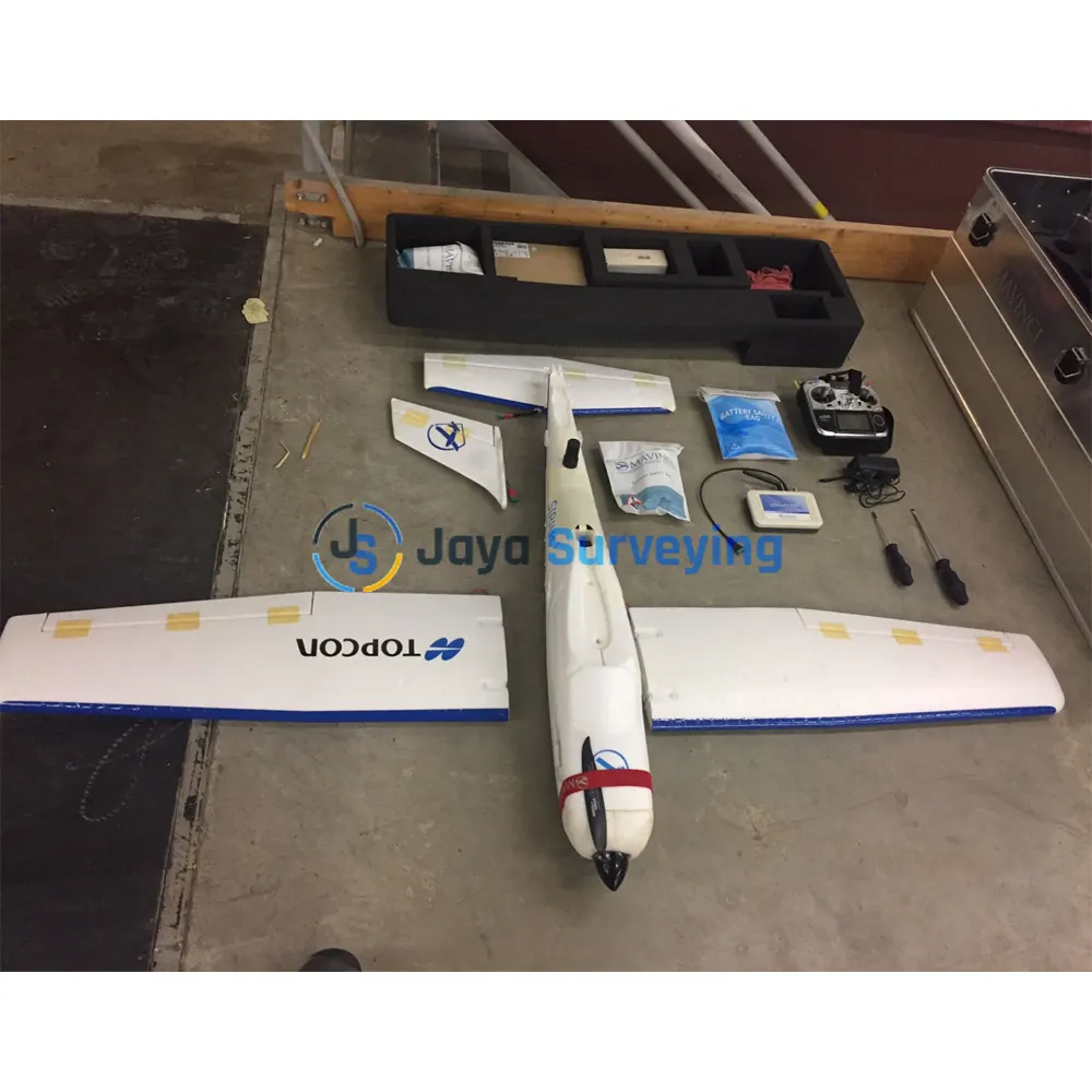
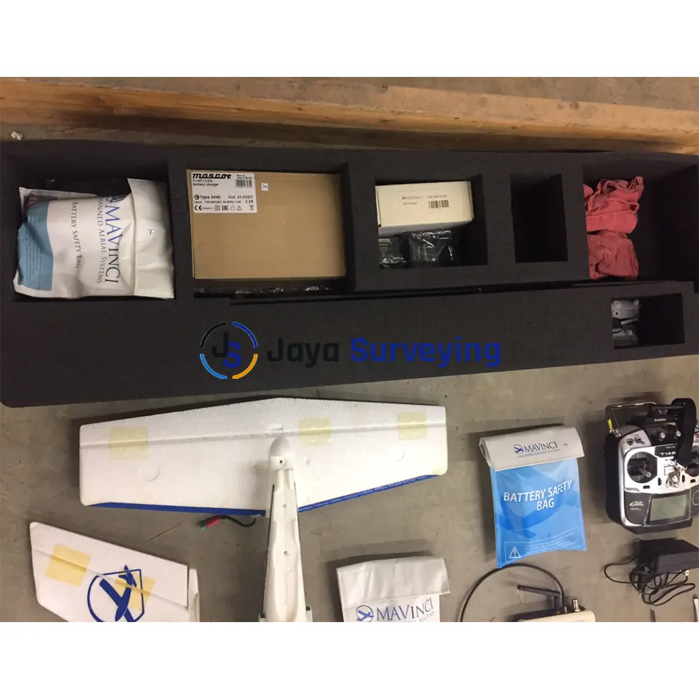
Sale Topcon Sirius Pro UAV MAVinci Includes:
Features & Benefits:
Achieving 5cm accuracy without Ground Control Points (GCP) means an increase in productivity when compared to other solutions. Instead of GCPs, Sirius Pro uses GNSS RTK in combination with precision timing technology to determine the exact location for each of the positions at which a photo is taken. This precise positioning technology allows the image locations to be used as the equivalent of GCPs. As a result, project times can be decreased significantly and high accuracy mapping can now be done in areas without ground access.
High accuracy ground control
Placing and measuring GCPs can be more than 50% of the traditional project time. When ground area access is limited or impossible, providing high accuracy mapping is a problem. Instead of GCPs, Sirius Pro uses GNSS RTK and precision timing technology to determine exact photo positions.
Work in mountainous areas
The flight plan capability with the Sirius Pro automatically adapts to an elevation model so the system works in mountainous areas. Cover areas that require more than one flight
Save up to 30% flight time for large UAS missions: Flight plan splits up automatically and rejoins for post processing.
Simple hand launch
The UAS is directly launched by hand, no catapult etc. is necessary.
Land in areas where automatic landing is impossible
If obstacles or dimensions of the landing area prevent automatic landing, the operator can easily land autopilot assisted. The UAS is stabilized and manually controlled by simple up/down, left/right commands. This feature allows even unexperienced pilots to safely steer and land the plane manually.
Operational in windy areas
The UAS is fully operational with wind of up to 50 km/h (approx. 7Bft) with gusts up to 65 km/h (approx. 8Bft).
Includes flight planning and desktop software
The Sirius Pro comes with software for flight planning and image acquisition. First, plan the flight using included MAVinvi desktop software. Controller software ensures planned track is followed and images are captured.
New Sirius UAS City Mapping Kit
The new City Mapping Kit comprises a Fuji X-M1 8mm lens and an enhanced MAVinci Desktop Flight Planning software upgrade. The package allows the image capture of vertical facades such as buildings, infrastructure and construction sites. The flight planning software optimizes the planning, preparation and processing to automatically produce a textured 3D model.
Key Features
New Sirius UAS High Resolution Mapping Kit
This kit comprises a Fuji X-M1 27mm lens and an enhanced MAVinci Desktop software upgrade. This package allows the collection of images at the highest possible resolution for applications such as construction site monitoring, survey and mapping topography.
Key Features:
Typical Application Areas
Specifications:
|
Test Data Accuracy (GSD, X/Y, Z) |
|
| Stone Pit | 2-3cm, 4.4cm, 0.8cm |
| Agricultural Area 1 | 1.6cm, 2.4cm, 3.1cm |
| Agricultural Area 2 | 3.5cm, 5.1cm, 3.2cm |
| Agricultural Area 3 | 10cm, 7.2cm, 8.6cm |
| Airframe | |
| Material | Elapor |
| Wingspan | 163cm |
| Length | 120cm |
| Take Off Weight | 2.7 kg (includes 550g camera payload) |
| Flight time | 55 min (with 550g payload and one battery) |
| Speed over ground | 65 km/h |
| GNSS Component | |
| Number of Channels | 226 Universal Channels |
| Signals Tracked | GPS L1 C/A, L2C, L2 P(Y), GLONASS L1/L2, Galileo E1 |
| Accuracy RTK (Kinematic) |
|

 >
>
 >
>
 >
>
 >
>