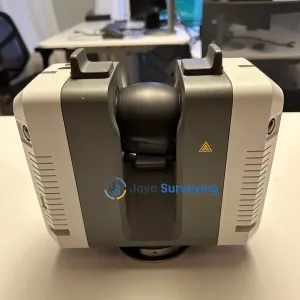
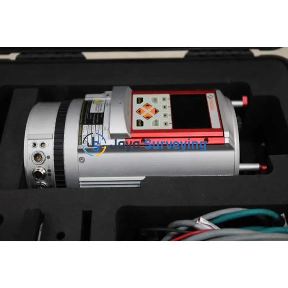
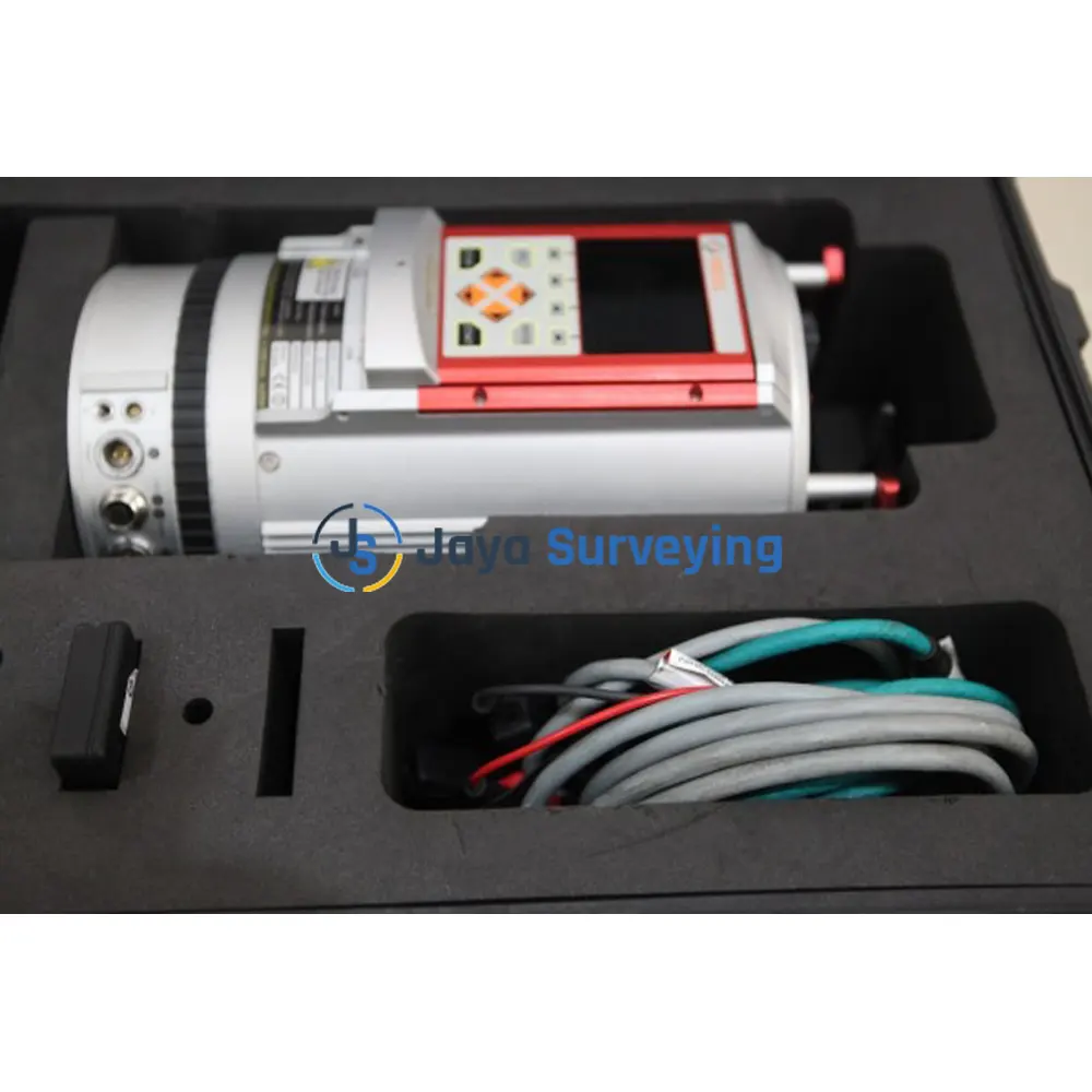
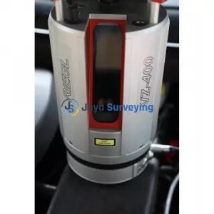
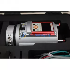
LIKE NEW RIEGL VZ-400 3D Terrestrial Laser Scanner comes with Hard Case ALL DATA and Power Cables as pictured unit is ready to work and has been tested.
The V-Line 3D Terrestrial Laser Scanner RIEGL VZ-400 provides high speed, non-contact data acquisition using a narrow infrared laser beam and a fast scanning mechanism. High- accuracy laser ranging is based upon RIEGL’s unique echo digitization and online waveform processing, which allows achieving superior measurement capability even under adverse atmospheric conditions and the evaluation of multiple target echoes.
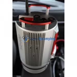
The line scanning mechanism is based upon a fast rotating multi-facet polygonal mirror, which provides fully linear, unidirectional and parallel scan lines. The RIEGL VZ-400 is a very compact and lightweight surveying instrument, mountable in any orientation and even under limited space conditions.
Modes of Operation
VZ-400 Key Features and Components
High Accuracy Performance
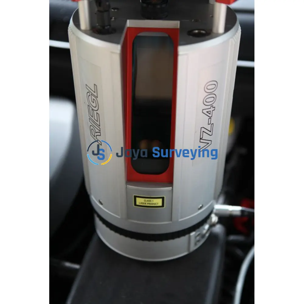
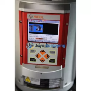
The 3D Terrestrial Laser Scanner RIEGL VZ-400 provides scan data acquisition with 5 mm accuracy / 3 mm repeatability, a measurement range of up to 600 m, and an efficient measurement rate of up to 122,000 measurements/sec. The fully portable, rugged and robust instrument offers a wide field of view of 100° vertical and 360° horizontal, and uses an invisible laser beam for eye safe operation in Laser Class 1
Camera Option
A high-precision mount enables the integration of an optional DSLR camera. The camera can be easily integrated into the mount by means of two screws. Precise position and orientation of the camera is enabled by three supporting points. Power supply and a USB 2.0 interface are provided via the scanner directly.
The combination of scanner, software, and camera results in photorealistic 3D data, exact iden-tification of details, position and distance measurements, as well as a depiction of any virtual
point of view.
Waveform Data Output Option
The digitized echo signals, also known as wave-form data, acquired by the RIEGL VZ-400 are the basis for waveform analysis. This data is provided by the optionally available waveform data output and accessible via the associated RIEGL software library RiWAVELib for investigations and research on multi target situations based on the digital waveform data samples of the target echoes.
Compatible Software Packages
The RIEGL VZ-400 is compatible with the RIEGL software package RiSCAN PRO for terrestrial laser scanning, RIEGL‘s interface library RiVLib, as well as the workflow-optimizing software packages, e.g. RiMINING. Combined with the one-touch workflow of the scanner, RIEGL‘s ultimate 3D scene capture solution, RiSOLVE, enables fully automatic registration and colorization of scan data.
Supported Registration Methods
Direct Geo-Referencing
GNSS Traversing
Free Stationing
Backsighting
Communication and Interfaces
Scan Data Storage
Technical Data RIEGL VZ ® -400
|
Range Performance |
|
| Laser Pulse Repetition Rate PRR (peak) | Long Range Mode: 100 kHz High Speed Mode: 300 kHz |
| Effective Measurement Rate (meas./sec) | Long Range Mode: 42 000 High Speed Mode: 122 000 |
| Max. Measurement Range 3) natural targets ≥ 90 % |
Long Range Mode: 600 m High Speed Mode: 350 m |
| Max. Measurement Range 3) natural targets ≥ 20% |
Long Range Mode: 280 m High Speed Mode: 160 m |
| Max. Number of Targets per Pulse | Practically unlimited |
| Accuracy | 5 mm |
| Precision | 3 mm |
| Minimum Range | 1.5 m |
| Laser Wavelength | Near infrared |
| Laser Beam Divergence | 0.3 mrad |
|
Scanner Performance |
|
| Scan Angle Range | Vertical (Line) Scan: Total 100° (+60° / -40°) Horizontal (Frame) Scan: Max. 360° |
| Scanning Mechanism | Vertical (Line) Scan: Rotating multi-facet mirror Horizontal (Frame) Scan: Rotating head |
| Scan Speed | Vertical (Line) Scan: 3 lines/sec to 120 lines/sec Horizontal (Frame) Scan: 0°/sec to 60°/sec |
| Angular Step Width (vertical), (horizontal) | Vertical (Line) Scan: 0.0024° ≤ Vertical ≤ 0.288° between consecutive laser shots Horizontal (Frame) Scan: 0.0024° ≤ Horizontal ≤ 0.5°) between consecutive scan lines |
| Angle Measurement Resolution | Vertical (Line) Scan: Better 0.0005° (1.8 arcsec) Horizontal (Frame) Scan: Better 0.0005° (1.8 arcsec) |
| Inclination Sensors | Integrated, for vertical scanner setup position |
| GPS Receiver | Integrated, L1, with antenna |
| Compass | Optional, for vertical scanner setup position |
| Internal Sync Timer | Integrated, for real-time synchronized time stamping of scan data |
| Scan Sync (optional) | Scanner rotation synchronization |
|
General Technical Data |
|
| Power Supply Input Voltage | 11 - 32 V DC |
| Power Consumption | 65 W (max. 80 W) |
| External Power Supply | Up to three independent external power sources can be connected for uninterrupted operation |
| Main Dimensions | 180 x 308 mm (diameter x length) |
| Weight | 9.6 kg |
| Humidity | Max. 80 % non condensing @ +31°C |
| Protection Class | IP64, dust-proof and splash-proof |
| Temperature Range |
|


 >
>
 >
>
 >
>
 >
>